Examples#
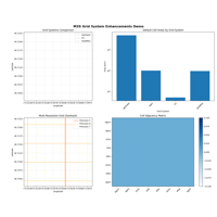
One example per grid system, plus guides for the higher-level API. Each example is a runnable Python script: it tessellates an area, reports cell counts and areas, and renders a static basemap and an interactive map.
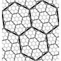
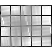
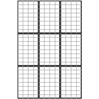
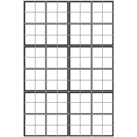
Grids covered: Geohash, MGRS, H3, Quadkey, S2, Slippy, C-squares, Plus Codes, Maidenhead, GARS, EA-Quad and A5.
Download any script and run it locally with the dependencies installed.
Grid Systems#
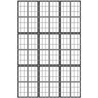
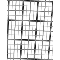
One self-contained example per spatial grid system supported by M3S. Each example builds cells over a small region, renders them as a static image over a light basemap (Web Mercator), and then shows the same cells on an interactive, pannable Leaflet map.
All examples use the M3S API with GIS-native (lon, lat) coordinate
order.

API & guides#
End-to-end walkthroughs of the M3S API: the quickstart, intelligent precision selection, grid conversion and relationship analysis, UTM reprojection, and the web-mapping (Quadkey/S2) and newer grid systems.
Reproject grid using UTM zone information and visualize.