
Grid Systems#
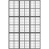
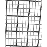
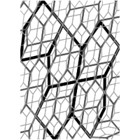
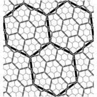
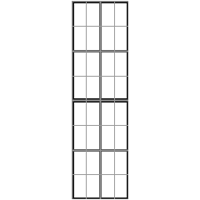
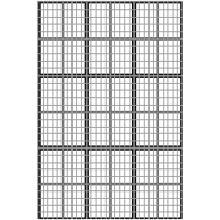
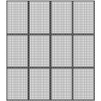
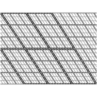
One self-contained example per spatial grid system supported by M3S. Each example builds cells over a small region, renders them as a static image over a light basemap (Web Mercator), and then shows the same cells on an interactive, pannable Leaflet map.
All examples use the M3S API with GIS-native (lon, lat) coordinate
order.